GEOGRAPHIC INFORMATION SYSTEM (S.I.G.)
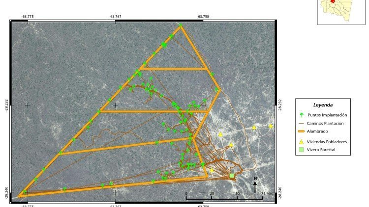
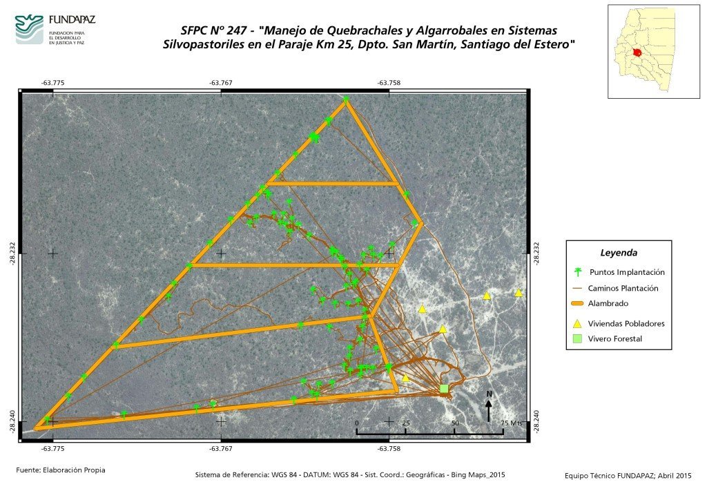
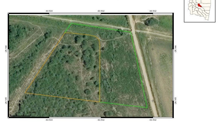
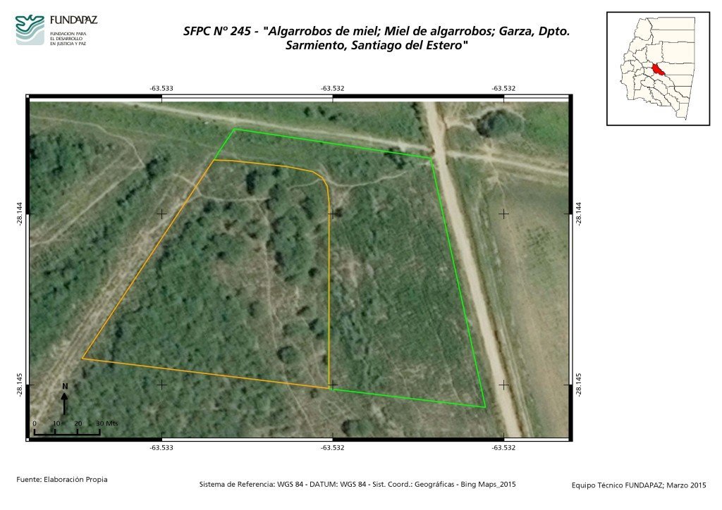
The Foundation's geographic information system (SIG) stores geographically referenced information, which has been surveyed with the participation of the community-based organizations and which is later used, among other purposes, to design territory management plans and maps on natural resources use and handling, to influence politically in defining public policies and to claim for the right of rural and indigenous communities to legal tenure of the land.
Report
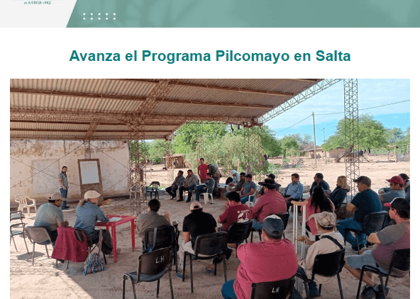
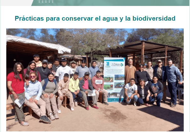
The publication `` FUNDAPAZ Puente '' reaches an extensive network of institutions and people. It contains notes on the activities we carry out and articles referring to the work carried out by the peasant and indigenous organizations that we accompany, as well as other institutions.
Puente 126
Puente 125
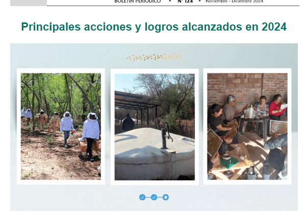
Puente 124
Puente 123
Booklets
Collection of publications aimed at training and spreading different production and social practices, written for the community-based organizations and their members.
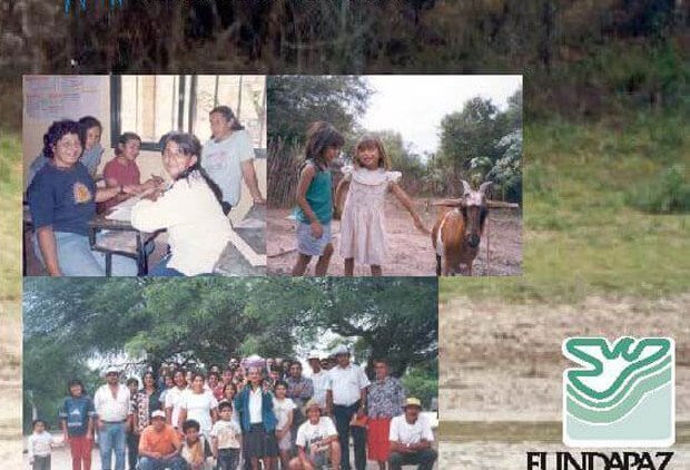
Sanidad animal en el Chaco Salteño
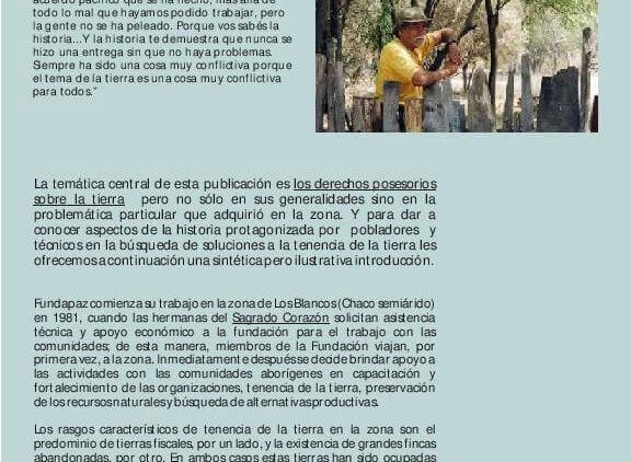
Derechos posesorios-Prescripción veinteañal
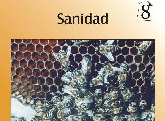
Miel 8
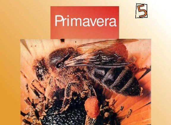
Miel 5
Videos
Video spots that explain the thought and activity of the Foundation through images and testimonies.
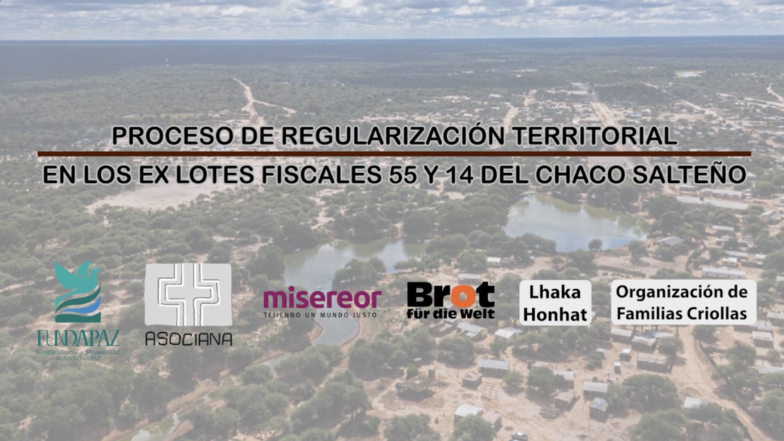
Proceso de regularización territorial en los ex lotes fiscales 55 y 14 en Santa Victoria Este, Salta
El trabajo de 50 años de Fundapaz en el norte argentino
Documents
Serie de publicaciones referidas a temas sociales y productivos dirigidas a autoridades, profesionales y técnicos.
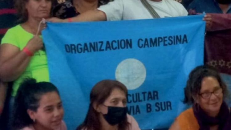
Sistematización del proceso histórico con organizaciones campesinas e indígenas

Atlas de acceso a recursos naturales de comunidades indígenas y campesinas
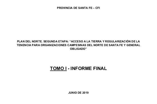
Fundapaz elaboró propuestas sobre acceso a tierra en Santa Fe
