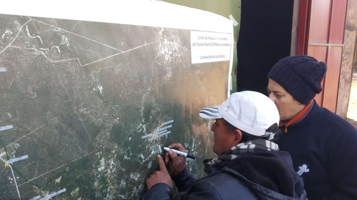
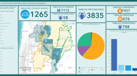
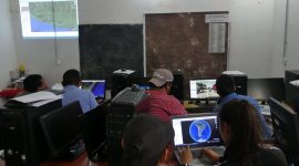
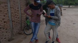
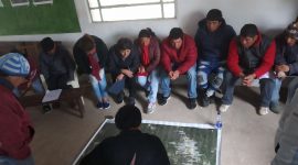
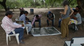
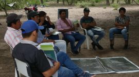
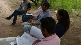
It is a tool that, due to its ability to operate, manage and analyze spatial and thematic information, is used in territorial management for access to natural resources. Its objective is to put into operation a methodology for surveying and processing data and obtaining results, which allows us to visualize our work and trajectory of almost 48 years accompanying and / or advising peasant and indigenous organizations and communities in northern Argentina.
